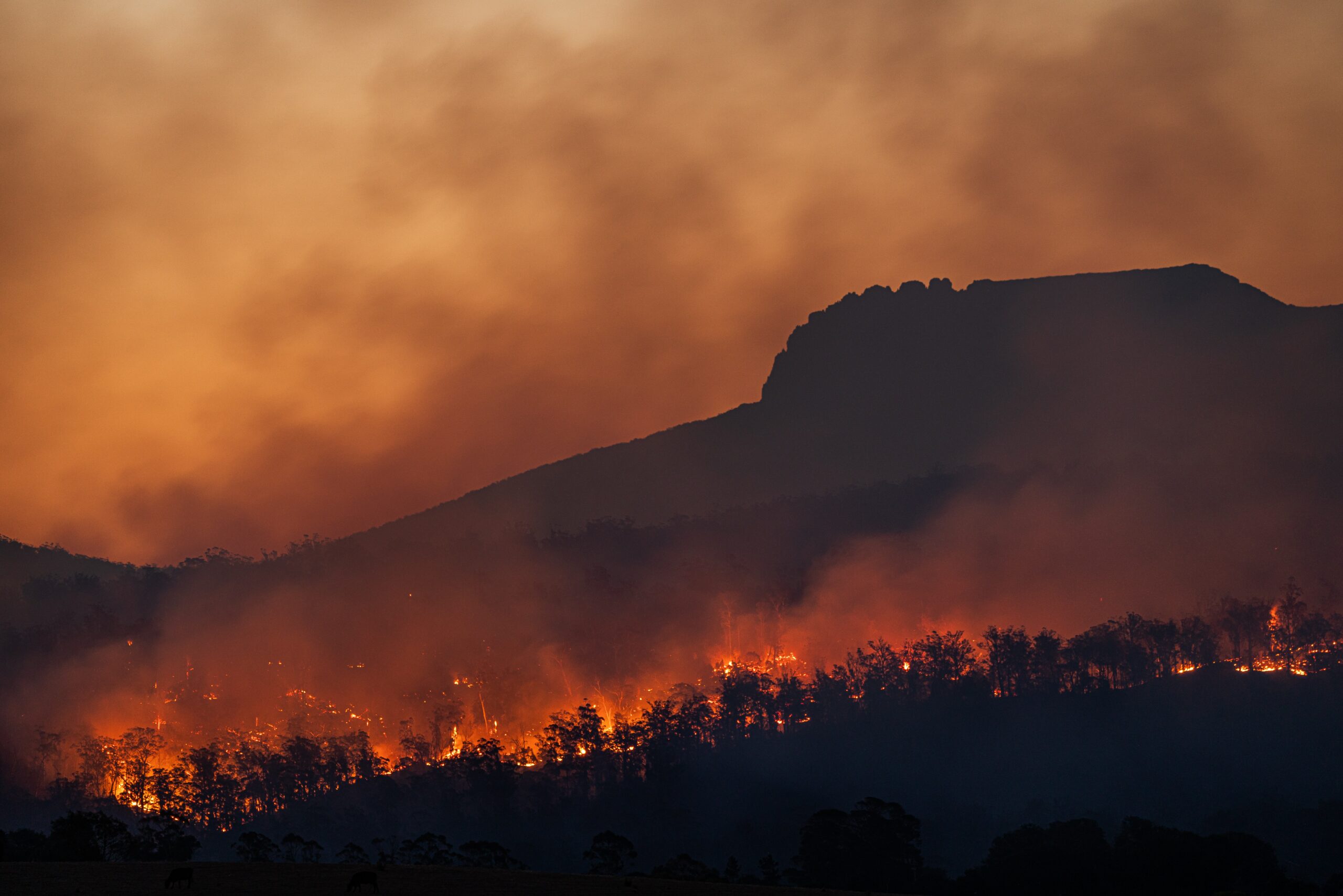
Photo by Matt Palmer on Unsplash
We sifted through hundreds of innovations that grabbed attention last year.
In this series of nine posts, we share the most interesting and impactful ideas.
How to monitor and improve the natural environment?
The world bank estimated that a 70% increase in agricultural output is needed in 2050 to feed the increasing global population. Yet, agriculture is facing climate change and land degradation issues. There is a pressing need for highly efficient use of resources in agriculture. One specific issue is that there are insufficient data on crop water stress at the field level, which can significantly reduce crop yield. Constellr, a German company, is building a constellation of micro-satellites for monitoring land surface temperature on a global scale. Specifically, the satellite system uses thermal infrared monitoring to provide daily thermal imaging at field level with an API for data access. The system monitors early water stress and estimates yield potential in fields. Their services enable precision irrigation, crop health monitoring, yield forecasting, and disaster monitoring.
10% of human-induced greenhouse gas emission results from deforestation. Yet, only 38% of global forests are monitored for degradation. CTrees is an American nonprofit organization aiming at tracking carbon in trees and providing geospatial data to enable natural climate solutions at different scales. The company uses high-resolution satellite imagery, LiDAR, radar, and deep learning to build a global monitoring system enabling forest carbon accounting. With the satellite monitoring system, the organization tracks forest and land use activities, even loss and gain of individual trees globally. They provide data on carbon stocks in forests at fine spatial resolution, mapping out carbon stored in forests, as well as coastal wetlands and mangroves. Using historical data, the CTrees platform shows historical variations of carbon stocks at different scale, enabling accurate estimates for climate-related projects, solutions, and policies.
Link: Constellr, CTrees
Contact: Constellr, CTrees
Summary
The purpose
To monitor the environment on a global scale and at a fine level
The idea
Using a collection of satellites with advanced sensors and AI
Further Possibilities
1. Combine thermal and regular imagery for better monitoring
2. Use Satellite-based data for studying economics, supply chain, agriculture, sociology, geopolitics etc.
3. Monitoring pollution worldwide with satellites
4. Tracking changes in oceans, such as temperature, pollution, and ecology
5. Share deforestation or disaster information with GPS so that local people know
Questions
1. What are all the global problems that can be monitored by satellites?
2. What might be all the ways to model the Earth?
3. What important information is unavailable to satellite monitoring?
Not only are forests important for absorbing greenhouse gases from the atmosphere, they also host diverse ecosystems and provide likelihood for 1.6 billion people. Unfortunately, there has been 1.3 million square kilometers of deforestation since 1990. Reforesting through manual tree-planting is rather inefficient: growing seedlings alone can take several months. In addition, there are areas difficult to access by vehicles. The Australian company, AirSeed Technologies, uses drones to plant trees on a large scale. First, a target area is mapped with soil sampled. Appropriate plant species and planting patterns are identified, together with nutrient needs. Then seed pods containing nutrient-rich biomass are manufactured. The company designs a flight plan which guides drones through the target area. The drones fire seed pods into the ground. Afterwards, post planting surveys are done to monitor the change and count tree canopies. Using this method, 40,000 trees can be planted in one day with only 20% of the cost of manual tree planting.
Link: AirSeed Technologies
Contact: Webpage
Summary
The purpose
To plant trees in inaccessible areas
The idea
Use drones to deliver and plant seeds
Further Possibilities
1. Use drones for fertilizers
2. Use drones to count trees or animals
3. Use drones for traffic accident first-aid
4. Use drones to monitor national parks
5. Use cannon to fire seeds into the ground
Questions
1. What might be all the things that we need to deliver in a large scale fast?
2. What might be all the things that we need to pick up from a field fast?
3. What other living things can be delivered by drones?
Further Possibilities
1. Automate crop management combining the systems
Satellites provide a macroscopic view of crop conditions and environmental factors, while drones offer micro-level interventions in specific areas. The synergy between the two methods allows for targeted interventions, such as delivering seeds or applying treatments precisely where they are needed the most.
2. Label each crop field or forest with sensors
The detailed data collected through this approach allows for targeted interventions, optimized resource allocation, and improved understanding of ecosystems.
3. Develop a comprehensive program to plant trees and monitor the results with feedback loops
By using a collection of satellites with advanced sensors and AI, a comprehensive program that integrates satellite-based site selection, monitoring, and feedback loops enhances the effectiveness and sustainability of tree planting initiatives.
4. Model the impact of forest on climate change with geospatial detail
The combination of high-resolution satellite imagery, LiDAR, radar, and deep learning techniques provides a powerful framework for modeling the impact of forests on climate change with geospatial detail. This approach enables more accurate assessments, enhances our understanding of forest-climate interactions, and supports evidence-based decision-making for sustainable forest management and climate change mitigation efforts.
5. Combining drone and satellite data to optimize both systems
The integration of these two methods enhances the spatial and temporal resolution, accuracy, and completeness of forest monitoring, allowing the validation and calibration of measurements, and improving data analysis and interpretation.
Hottest Innovations of Last Year


